Monitoring the Sea in Early Modern History. On the Recording of Maritime Spaces in Art and Science around 1600
Ulrike Gehring (Trier)
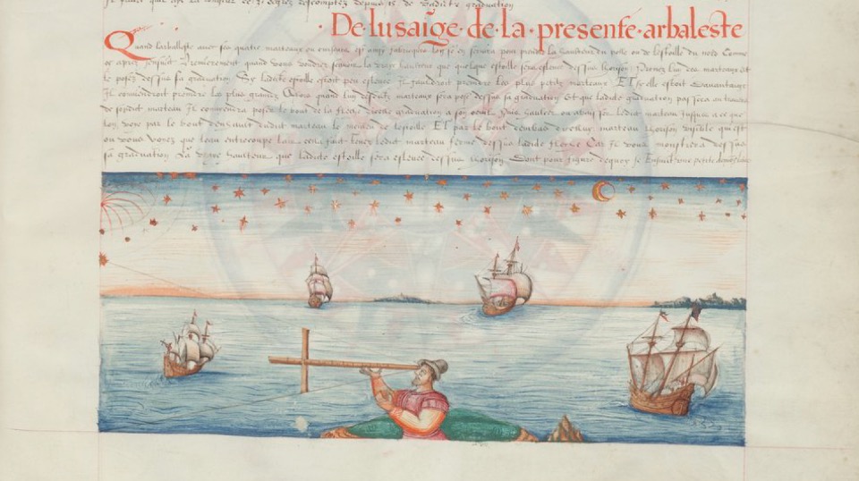
Reliable nautical charts and the deepest possible knowledge of the waters to be navigated are as indispensable for the frictionless movement of goods in our globalised world as they were during the period of European expansion in the early modern era. At the end of the 16th century, a new type of specialised book appeared in the northern Netherlands. The sea manuals (rutter), written by experienced seamen, were written in Dutch and provided a practical introduction to the nautical knowledge of the time. In constantly updated editions, coastal profiles were described, shipping lanes indicated, shoals marked and meteorological peculiarities mentioned. Not uncommonly, small-format portolanes were also included, suggesting various sailing routes and identifying the topographical peculiarities of the coastal strip from the sailor’s point of view. From a scientific-historical point of view, the new findings in the field of navigation technology, hydrography, meteorology and land mapping are of particular interest, as they led to a rapid professionalisation of ‚Dutch‘ inland and overseas navigation. From an art-historical point of view, the projection procedures in particular are fascinating, by means of which methods of cognitive observation of the world and epistemological procedures of maritime cartography are amalgamated. The extent to which the surveying of space, the evaluation of water samples and the first ideas of thermodynamics also influence the representation of distance, the sea and the weather will be clarified in an interdisciplinary approach.
Contact: gehring@uni-trier.de